|
Maps |
|
Maps of the area over
the years |
 |
|
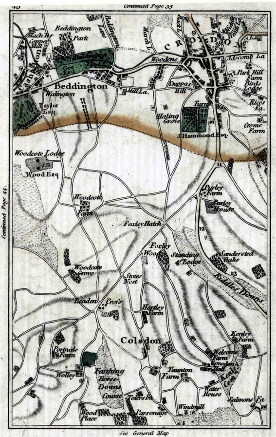
(above) a 1790 map of the area |
|
 |
|
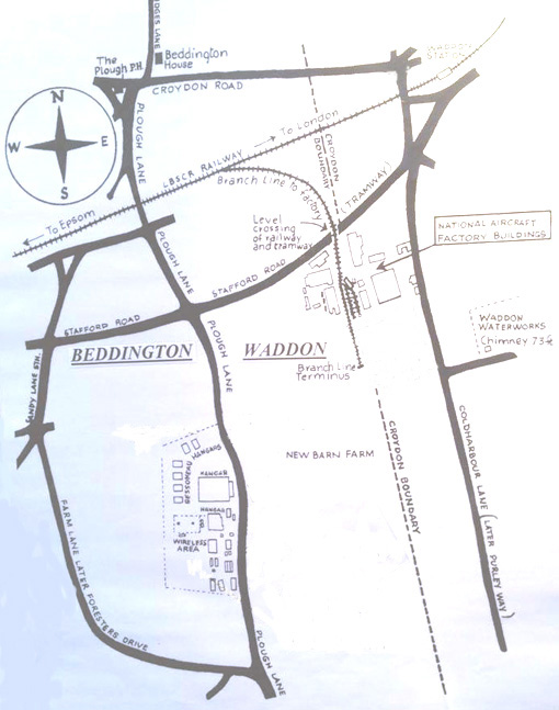
The (above) map above shows Beddington airfield set between
Stafford Rd, Farm Lane, and Plough Lane where it had it's ground
traffic entrance. 1915. |
|
 |
|
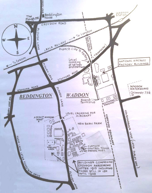
The ( above) map above shows the RFC airfield in Beddington,
and to the East the new area of Waddon airfield and the factory
complex, which now stretched over and in to the district of Croydon.
1918. |
|
 |
|
(above) The Beddington and Waddon Aerodrome's
( seperated by Plough Lane) now joined together under the name
of 'Waddon Aerodrome'. 1920. |
|
 |
|
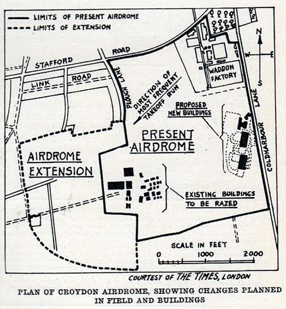
(above)
1926 proposal |
|
 |
|
(above)
1927 |
|
 |
|
(above) 1928 |
|
 |
|
(above) 1929 |
|
 |
|
(above
and below) 1930's |
 |
|
 |
|
(above) 1938 |
|
 |
|
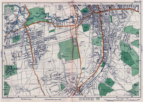
(above) 1948 |
|
 |
|
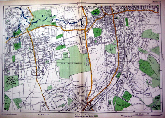
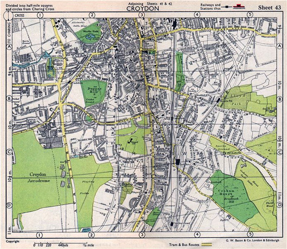
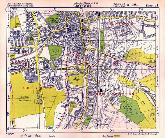
(above)
1955 |
|
 |
 |